

Z-Boat 1250
Product descripton: Z-Boat 1250 by Teledyne Marine
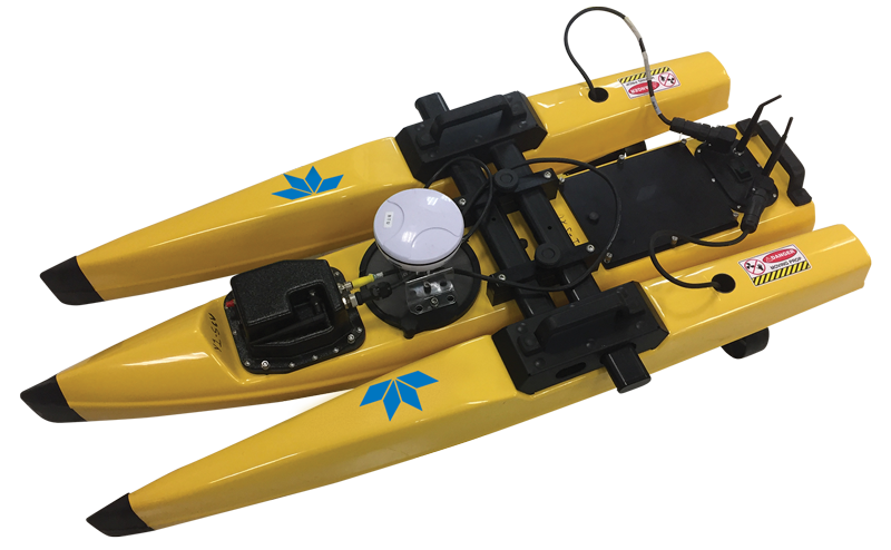
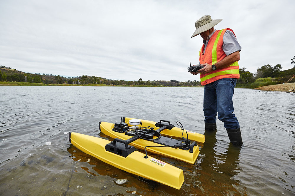
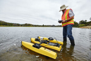
The Teledyne Oceanscience Z-Boat 1250 is a lightweight remotely operated surface vehicle (USV) designed for efficient single beam hydrographic surveys in shallow waters, rivers, lakes, reservoirs, harbors, and other hard-to-access environments. Its compact and ruggedized design enables single-person transport, deployment, and operation while providing a safe alternative to traditional manned survey boats.
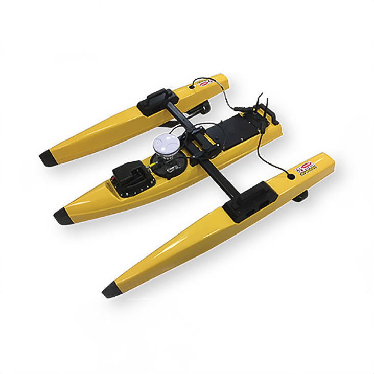
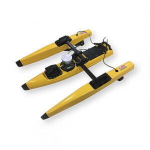
Featuring a lightweight ABS hull, collapsible sliding crossbar, and a highly maneuverable dual-thruster propulsion system, the Z-Boat 1250 allows operators to conduct surveys closer to shore and in locations inaccessible to larger vessels. The system can be deployed directly from shore, reducing operational complexity and improving personnel safety during hazardous conditions.
The integrated echosounder includes an embedded transceiver with digital signal processing and provides depth and temperature measurements through NMEA 0183 data output. Real-time survey data transmission to a shore-based laptop enables efficient monitoring and faster decision-making during operations.
The Z-Boat 1250 is suitable for a wide range of applications, including environmental monitoring, construction surveys, inspection operations, mining sites, reservoirs, and coastal measurements.
Key Applications
- Single beam hydrographic surveys
- Shallow-water depth measurements
- River, lake, and harbor surveys
- Reservoir and dam inspections
- Environmental monitoring
- Mining pits and tailings pond surveys
- Construction and inspection zones
Technical specifications
| Parameter | Specification |
|---|---|
| Vehicle Type | Remotely operated surface vehicle (USV) |
| Primary Function | Single beam hydrographic surveying |
| Deployment | Single-person setup and operation |
| Hull Material | Lightweight ruggedized ABS hull |
| Weight | Under 50 lb (fully outfitted with instrumentation) |
| Propulsion System | Dual-thruster propulsion system |
| Steering System | Differential thrust control, no rudder or steering linkages |
| Maximum Speed | 2.3 m/s (7.5 fps) |
| Minimum Survey Speed | 0.3 m/s (1.0 fps) |
| Remote Control Frequency | 2.4 GHz |
| Sensor System | Integrated echosounder with embedded transceiver |
| Data Output | NMEA 0183 depth and temperature data |
| Data Access | Real-time transmission to shore-based laptop |
| Deployment Advantage | Portable operation in difficult-to-reach areas |
| Operating Areas | Streams, rivers, lakes, reservoirs, harbors, coastal waters, mining sites, and construction areas |